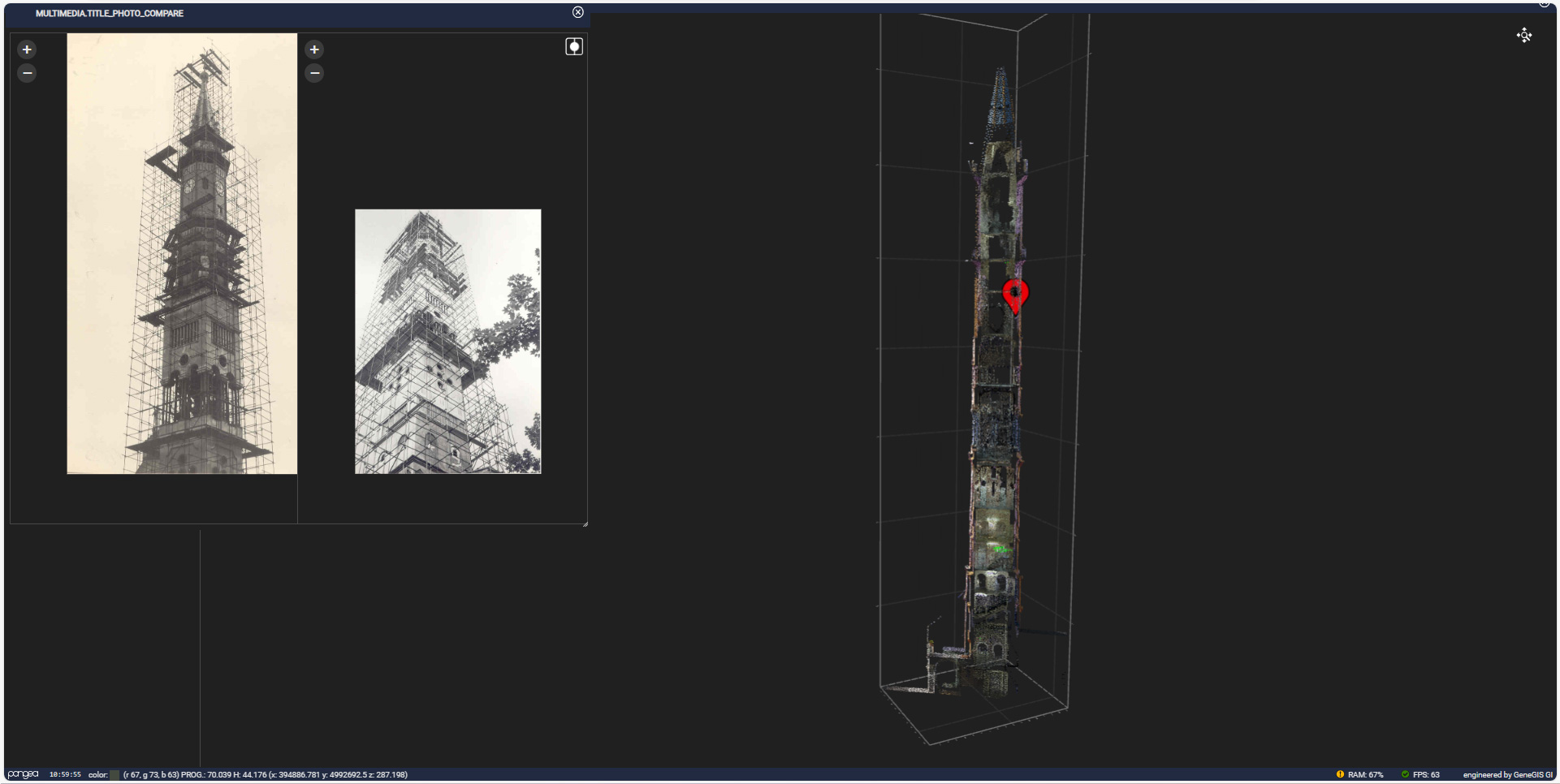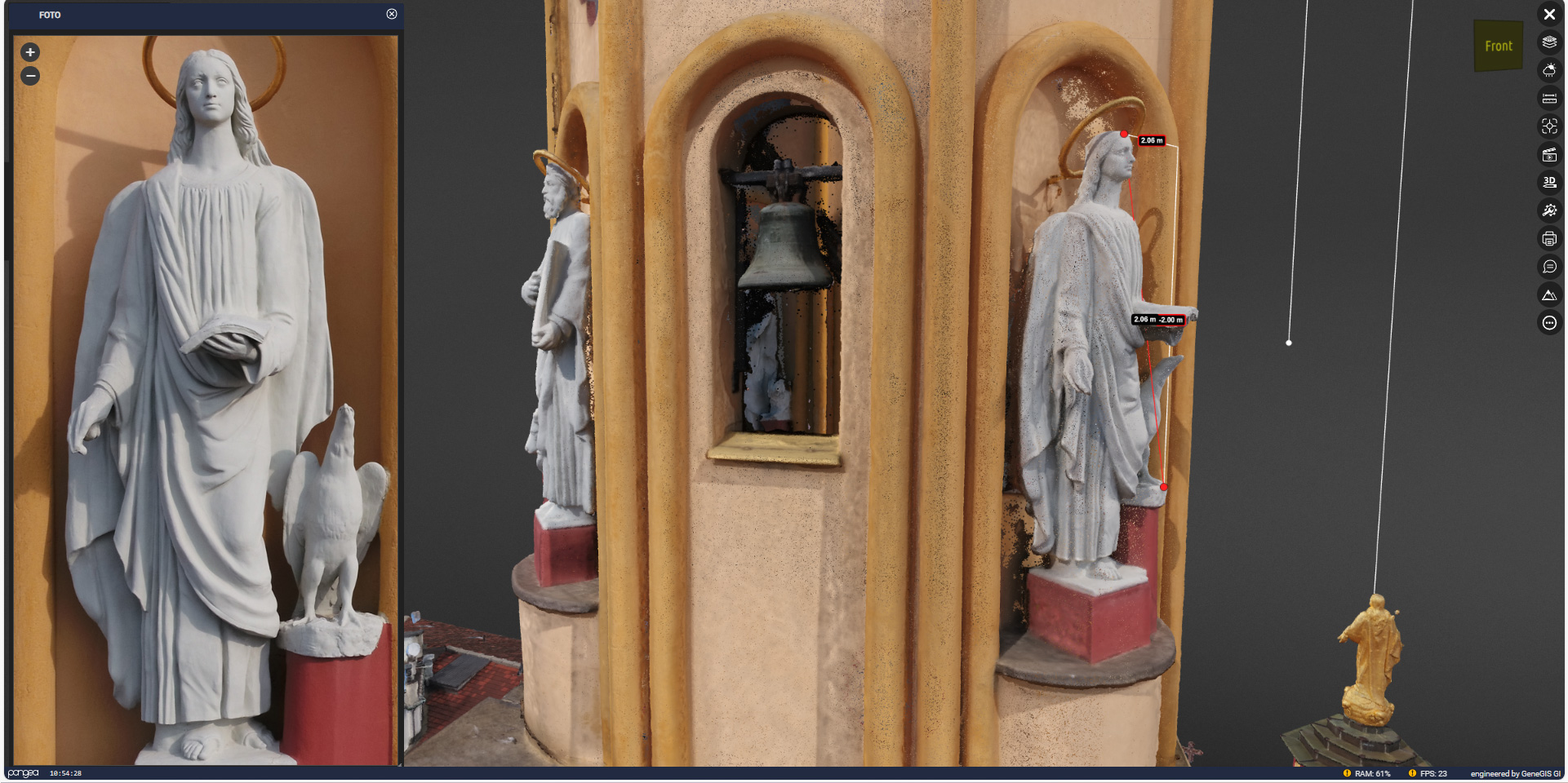
The San Donato district of Turin is undergoing a revitalization, emerging as a hub for local development and urban renewal. At the forefront of this transformation is an innovative project known as “SAN DONATO WOW!!!”, actively promoting the neighborhood as a compelling tourist destination. A key factor in the success of this initiative lies in the adoption of the Pangea Cloud platform and GeneGIS GI services, which are revolutionizing the tourist and cultural experience in this captivating area of Turin.
Mapping the Neighborhood: A Step Towards Cultural and Touristic Enhancement
A significant portion of the work undertaken in relation to the San Donato district revolves around mapping the area to enhance its cultural and touristic appeal. This endeavor encompasses mapping activities, land surveys, and the creation of thematic maps detailing the neighborhood, along with the development of tailored tourist routes.
In this regard, the selection of Pangea Cloud has proven strategic, offering an innovative approach to presenting and describing the district’s territory, while also providing crucial support in managing and conserving its architectural heritage. Unlike conventional, static, pre-packaged web-GIS platforms, Pangea Cloud stands out for its high flexibility and dynamic nature. It enables external users to access real-time geospatial data, fostering an interactive and engaging experience for technicians and decision-makers alike, facilitating the analysis of monitoring plans and the assessment of architectural asset conservation statuses. Additionally, it provides valuable support for both routine and extraordinary maintenance intervention design.

The Bright Future of San Donato

San Donato is in a state of constant evolution, and the future appears promising with this blend of technological innovation and cultural advancement.
The data provided by the Pangea Cloud platform includes:
- Environmental and Architectural Laser Scanner Surveys of the restoration area
- Satellite imagery
- Aerial photogrammetry
- Documents and technical specifications
- 360° photos
- Ground and drone-captured videos
- Weather data
- Video data captured by streaming cameras
- GBInSAR and InSAR interferometric data from satellites, with real-time analysis compared to temperature trends in the surrounding environment, and much more.